Hurricane Beryl now a major hurricane, continues westward path
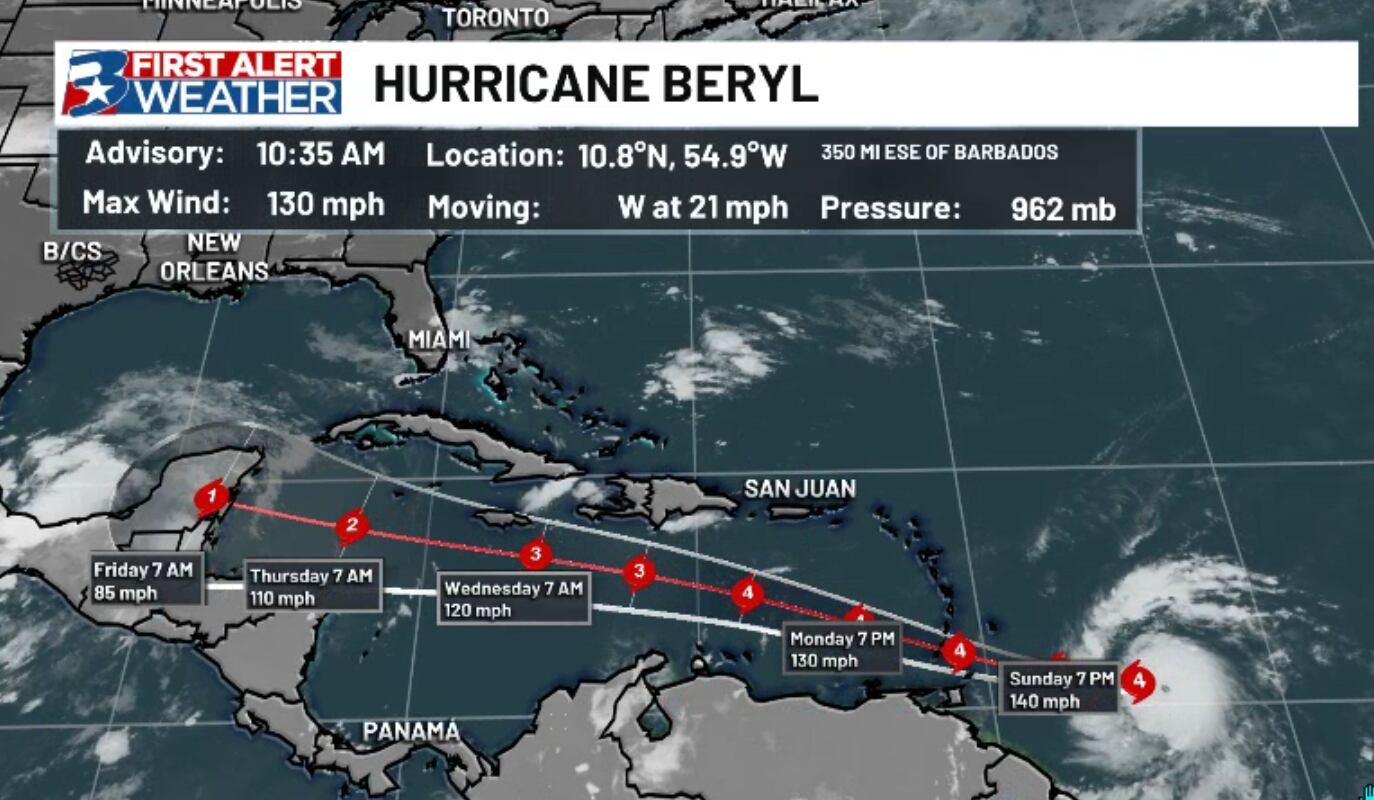
BRYAN, Texas (KBTX) – Right before the weekend started, Beryl was a small, but already significant tropical wave in the open Atlantic Ocean. Skip ahead just a couple frames and we now have a Category 4 hurricane that appears poised for even more strengthening as it bears down on the southern Lesser Antilles.
In a league of its own
#Hurricane #Beryl is now a Category 4 hurricane with max winds of 130 mph – the earliest calendar year Atlantic Category 4 hurricane on record. Old Atlantic record for earliest Category 4 hurricane was Hurricane Dennis on July 8, 2005 at 0UTC. pic.twitter.com/JAG4QGLgBh
— Philip Klotzbach (@philklotzbach) June 30, 2024
Before sunrise Sunday, Beryl was already the strongest June cyclone east of the Lesser Antilles, but with the Sunday late morning update above, Beryl has now become the earliest Category 4 storm on record.
What’s next?
Hurricane Warnings are in place across the southern Windward Islands as Beryl approaches from the east.
There are two things to note with Beryl in its current state and the direction it is traveling: With how strong a storm it already is AND its position and predicted westward path, widespread (at least minor) impacts are expected across much of the Caribbean, starting with the Windward Islands but potentially including Jamaica and the Yucatan Peninsula over the next week to 10 days. If you have travel plans in any of these areas from now through the first week of July, keep a close eye on the forecast, flights and bookings, as this storm has the potential to disrupt a lot of travel over the next week or more.
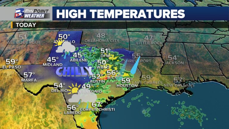
Texas impacts?
While Beryl continues on this westward jaunt, we will continue to watch wobbles and model trends over the next week. A strong ridge of high pressure re-established itself over Texas this weekend, and looks to expand over the Southeast over the course of this coming week. From there, models diverge on exactly how strong this ridge stays and where it is centered. Between questions about steering flow from said high pressure ridge and individual path and strength of Beryl, it is too early to know of any impacts from the storm for the state of Texas.
The good news: Any potential impacts will likely wait until after the Fourth of July holiday, meaning we have plenty of time to assess data and any potential risk for Texas and the Brazos Valley. As mentioned above, those traveling to Mexico or any part of the Caribbean over the next week will need to very carefully monitor the forecast, check flights, bookings, etc.
Regular updates can be found on air, online, and on your First Alert Weather app.
The tropics don’t look to quiet down any time soon. With Beryl leading the way, there are 2 more waves to watch as outlined by the NHC.
The first (left, southern gulf) doesn’t look to affect Texas with high in place. The next is still well out to see with a lot of possibilities. pic.twitter.com/k2Gy32L3V5
— Max Crawford 👍 (@KBTXMax) June 30, 2024