Eyes will be kept on storms to our north for another couple days
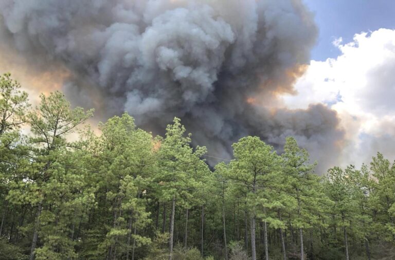
BRYAN, Texas (KBTX) – Yesterday’s storms caused more than just headaches across our northern and eastern counties, while the majority of the Brazos Valley largely missed out on the severe weather, and even the rain.
Could we be in for a repeat over the next couple of afternoons and evenings? While not likely to be an EXACT replica, we’ll be on the lookout for a couple of copycats.
A large and strong high pressure ridge is plopped over Mexico. Contributing to record heat in Central America and Mexico, it’s doing two things for the Brazos Valley: Giving us an early start to summer, but also steering storms around its clockwise flow into our area.
High pressure over Mexico drives “ridge rider” disturbances overhead through the rest of the workweek.
In other words, we’re close enough to this high to get summer heat, yet far enough away from its center to not be totally protected from storms popping up as mini-disturbances swirl around the high. This makes for a LOW confidence forecast in terms of nailing down exactly where storms will or won’t pop up on any given day. The “good” news is this ridge looks to strengthen over the weekend, giving us dry, but even hotter weather.
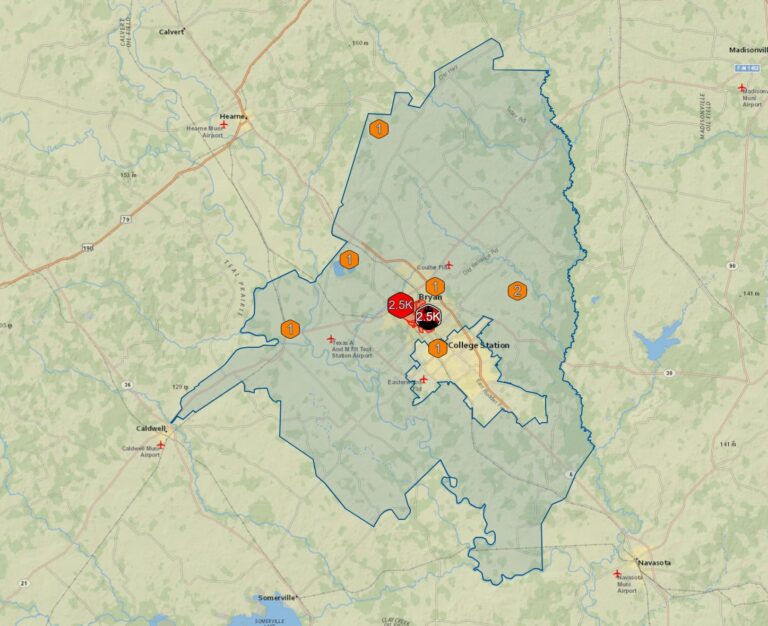
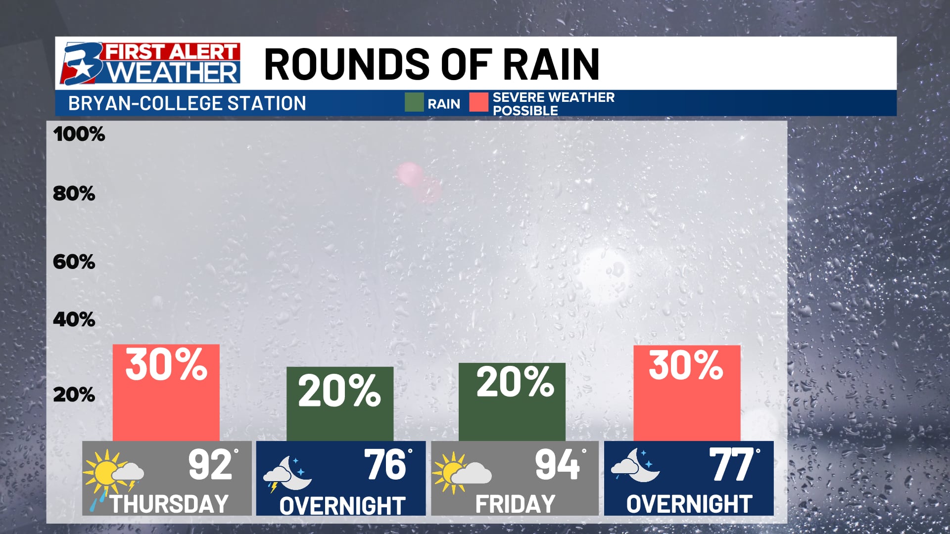
Ongoing showers and storms across Central Texas are already skirting some of our northern counties early Thursday, but another round is possible late this afternoon if daytime heating is able to re-invigorate the atmosphere. Said storms will generally move an east-southeast path over the course of the afternoon and evening, and lose steam an hour or two after sunset. Both Thursday and Friday afternoon, we will once again be monitoring said storms to see if they move into our northern counties or even farther over the course of the evening.
Like what we saw yesterday, the primary concern will be for strong wind. Isolated intense winds or even a tornado cannot be ruled out, but does not look overly likely at the moment. Hail appears more likely to our north and west but some quarter sized or smaller hail is possible.