WINDY Friday kicks off a series of big winter changes over the next week
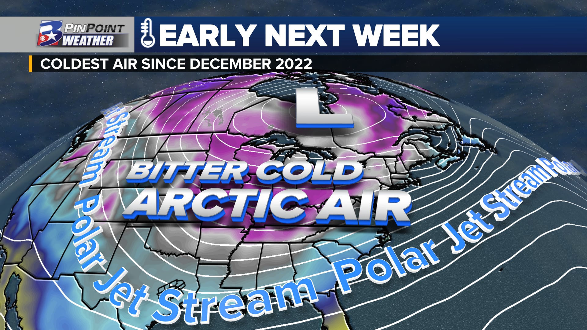
BRYAN, Texas (KBTX) – While the first of two arctic fronts has already arrived (and brought a STRONG west wind with it) the bigger, colder front arrives before we wrap up the weekend. Hazardous cold expected to continue through Wednesday, January 17th.
Hazardous cold arrives to finish the coming weekend, with temperatures likely to hover around or below freezing through Wednesday midday.WHAT’S CHANGED? Arctic air is expected to arrive before sunrise Sunday. High resolution data also suggests we may find a wintry mix of either freezing rain or sleet before MLK Monday is over. WHAT’S THE SAME? Very cold air lasts from Sunday through Wednesday. The biggest cold is expected Monday and Tuesday nights, where temperatures are expected to dip into the low/mid 10s. Conditions will be more “normal” by Wednesday afternoon, but will stay chilly into the weekend. Wind chill values may approach 0° with the colder nights and mornings.A REMINDER: This is NOT the same as the February 2021 freeze that highly impacted Texas. The duration will be much shorter, temperatures will not remain below freezing for more than 72 hours, and ice/snow is not expected to entomb the state.
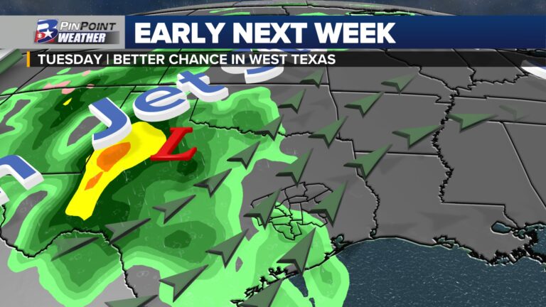
WINTRY MIX SUNDAY/MONDAY?
One of the more “fluid” elements to the forecast includes a wintry precipitation possibility as this system rolls in Sunday afternoon/evening through about midday Monday. While moisture will not be hugely available, some gulf moisture may “overrun” the deep, cold air as it arrives at the end of this weekend and a little into MLK Jr. Day. While we wait for the deeper, colder air to arrive, that will create a brief window for some drizzle to light rain, or even some sleet.
Higher resolution model data suggests either freezing drizzle/rain or sleet is possible from late Sunday afternoon through Monday afternoon. At the moment, accumulations look to be light, and not a major issue.
Overall, this is not a major concern at the moment. Minor accumulations could lead to some travel headaches Sunday night through the first half of MLK Monday before wind and colder/drier air sublimates any ice that may have accumulated. This is not expected to cause any local power outage issues due to accumulation on trees/powerlines.
WHAT CAN YOU DO TO PREPARE NOW?
While windy, the weather is expected to be otherwise tolerable for the rest of Friday, and downright balmy (compared to the rest of the forecast) Saturday. You will have plenty of time to finish up any winter weather preparations you haven’t already taken care of.
Plants: Bring potted plants inside a shelter like a shed or garage. Apply a thick layer of mulch around the base of hardy plants to insulate the ground. This weekend, Watering plans will help trap heat or slow the heat loss around the plant. A sheet or box/container can also be used to cover plants. Be sure to uncover the plants again after the threat of a deep freeze has ended.Pets: Bring pets indoors. Ensure adequate warmth and water for livestockPipes: Cover or insulate exposed pipes, including those underneath raised homes. Open cabinet doors to allow warm air to reach pipes under indoor sinks located on the outer walls of homes. This will be especially important Monday and Tuesday nights.
Hazardous cold arrives to finish the coming weekend, with temperatures likely to hover around or below freezing through Wednesday midday.
The biggest concern with this cold snap is the steep drop in temperature expected through midweek. Damage to pipes and other infrastructure and those caught in the elements remain the biggest two things to monitor.
Simply put, there is A LOT to keep track of, with new weather to experience each day from now through at least the middle of next week. This is a forecast that will continue to be adjusted as forecast data understands and handles this shallow, polar airmass better in the coming days. Details will be updated here at KBTX.com, on-air, on social media, along with the KBTX PinPoint Weather App.