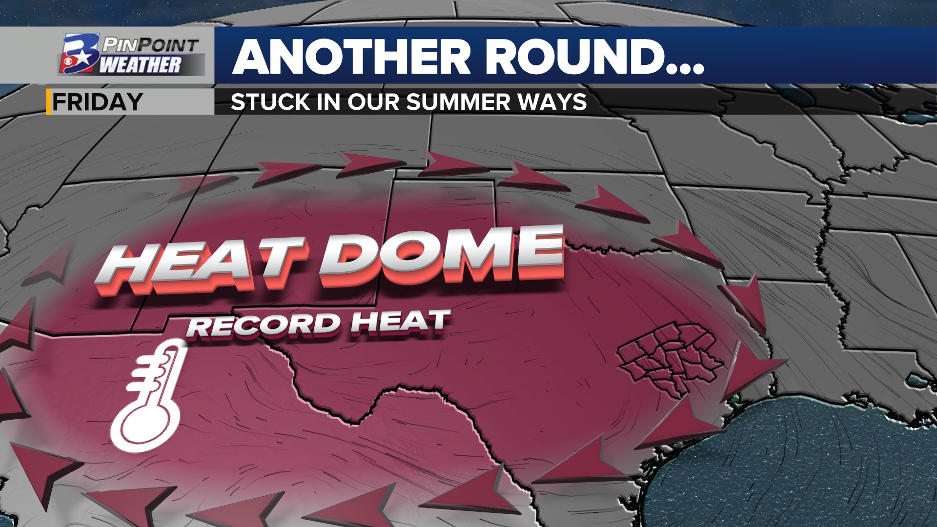
Another heat dome challenges records this week…but could it be the last of the season?
BRYAN, Texas (KBTX) – Meteorological Fall may have kicked off as the calendar flipped to September, but Summer 2023 is still up to its old record-breaking ways. Another crushing area of high pressure is expected to blossom over Texas this week, taking down more daily record highs as it does. Yet another big heat dome is in the forecast, but could this be the last one of the season?
RECORDS LIKELY FALL MULTIPLE DAYS THIS WEEK
Peak of the heat this go-around: Friday.
High temperatures are expected to far exceed record highs September 7th – 10th in the Brazos Valley
Labor Day Monday pushed the thermometer at Easterwood Airport to 102°. The 63rd time to reach a triple-digit high in 2023, and just six days away from tying the all-time most 100° days recorded in a calendar year (69 – 2011). As afternoon highs steadily rise, we expect to tie that record by Saturday and then break the record by Sunday. Another casualty of Summer 2023.
Thermometers are expected to run close to/over 105° Thursday and Friday. The temperature trend steadily starts to decline as this high pressure system moves west. Records by early-to-mid September are only around 100°. Highs 102° to 104° should have no problem rewriting history by early afternoon each day.
CLIMATOLOGY ON OUR SIDE?
Summer turns to fall, days get shorter, and the Earth tilts away from the sun. Pumpkin spice everything is already on the minds of many as we look for a fall feel here in the Brazos Valley. As of September 4th, the average high temperature for this time of the year has already fallen to the mid-90s. By the end of the month, that number slips to a warm, but more comfortable upper-80°. Morning temperatures? How do you feel about the mid-60s?
Climate data for the month of September in Bryan-College Station
That said, the Climate Prediction Center’s outlook for the Brazos Valley holds a 50% to 60% chance for “warmer-than-average” temperatures throughout the month of September. Does that mean we will carry the triple digits all the way through September? No. But it suggests we may experience more mid/upper 90° days than not as we travel into the mid and ending portion of the month.
Climate Prediction Center’s forecast for temperatures through the month of September
Even if we can break away from triple-digit highs after this next heat dome shoves off, it does not necessarily mean it will be the last of the year. The latest three triple-digit days in Bryan-College Station’s 141 years of record keeping:
Latest: October 6, 1892: 100°Second Latest: October 2, 1938: 102° (hottest temperature recorded in the month of October) Third Latest: October 1, 1938: 100°
As we have learned this year, 2023 is very capable of breaking records and pushing heat to unprecedented levels. Hopefully, this is one heat record that will remain in the books for at least one more year.
PATTERN BREAK?
Ensemble modeling thinks so! There are two reliable, global forecast models that forecasters use most often to gain an understanding of what the weather may bring beyond the 10-day forecast. Those data sets are the European and GFS (American) forecast models.
Ensemble guidance for forecast temperatures, per the European forecast data
The European forecast model brings a few disturbances across the east side of Texas as early as this weekend, snapping the triple-digit heat for much of the Brazos Valley. When you run the model, giving each iteration a small difference in the weather pattern, the most reasonable outcome is for high temperatures to fall to the upper 90s by Saturday, September 9th, low 90s by mid-month, and potentially even cooler toward the end of the month.
Ensemble guidance for forecast temperatures, per the GFS forecast data
The GFS forecast model has had a noticeable heat bias throughout the entire summer. As the PinPoint Weather Team handcrafted the forecast over the last few months, this data set was used as a guide for how much temperatures could increase or decrease rather than the absolute value expected as the forecast high. Still, the ensemble version of this data brings highs to the mid-90s by mid-September and potentially the low 90s closer to the final last 10 days of the month.
GFS Forecast mid-level weather pattern from early-to-mid September
Once this upcoming high pressure moves west, there are signals that a few weather systems will start to dip the jet stream further south and across central portions of the Lower 48. If so, that progressive weather pattern can shove the summer high pressure out of the way and maybe even bring down some mild air as we look to the second half of September. Too early to know how mild that air will be and if it can help to spark up needed rainfall — the outlook currently does not bode well for wet weather — but some hopeful signs that a change in the air is on the way sooner than later.