Rest of August likely to bring above average temperatures, worsening drought
BRYAN, Texas (KBTX) – Roughly a third through the month of August, and almost a month removed from measurable rain at Easterwood Airport, we’re parched and ready for some, any, relief.
Well, never say never, but the chance for widespread relief looks less likely as we finish the month.
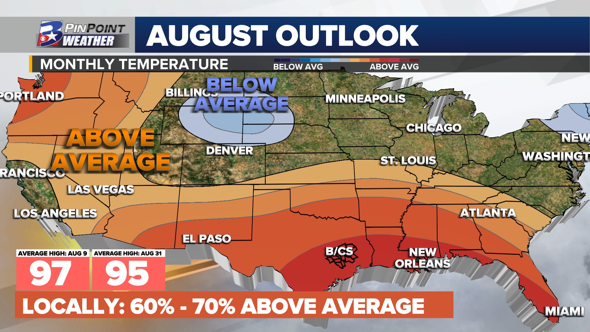
In Wednesday’s update from the Climate Prediction Center, NOAA forecasters have placed the Brazos Valley in a 60-70% chance swath of widely experiencing above average temperatures through the end of the month. In other words, a continuation of what we have already seen (or perhaps a touch cooler) looks likely as we head into the end of the month. That same outlook goes on to predict either developing or worsening drought for the state of Texas through the end of the month, which may not come as a surprise considering how much of this summer has gone for the state.
Now, could a few days of soaking, drenching rain and cooler weather still come before the month is done? Absolutely. But the overall trend is in favor of a mainly dry and hotter than average finish to the month. Models have been trying to grab hold of a weak boundary setting up early next week, potentially dropping a round or two of scattered rain Tuesday and Wednesday. I’m not buying it just yet, but it will be something worth watching.
Though we may get lucky with some rain before the end of the month, we’re likely to look back on this August as remarkably hot, and very dry.
Beyond that, We’re likely looking beyond the 19th for any appreciable chance for rain. Since that is beyond the 10-day forecast, that just remains another “area to watch”. Hope more relief is coming soon, but we may have to change our perspective on the word “soon” first.